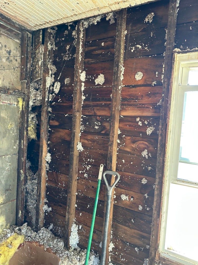
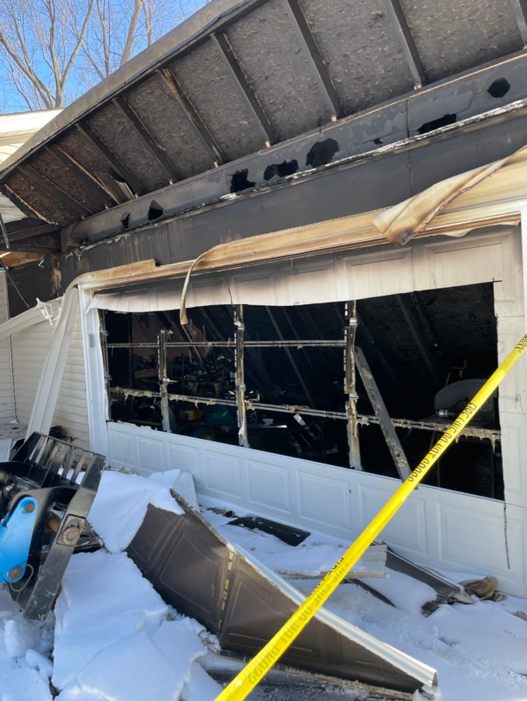
Real job photos posted by restoration companies.
About Minneapolis
Minneapolis, Hennepin County, Minnesota. Census 2024 area: 54 sq mi of land and 3.51 sq mi of water. Center point 44.963324, -93.26832 (Census GEOID 2743000).
Neighborhoods in Minneapolis
Downtown, Uptown, Northeast, North Loop, Dinkytown, Warehouse District, Loring Park, Whittier, Lyndale, Powderhorn, Longfellow, Nokomis, Lake Nokomis, Minnehaha, Ericsson, Keewaydin, Hale, Field, Regina, Northrop, Page, Diamond Lake, Windom Park, Morris Park, Hiawatha, Howe, Cooper, Holland, Standish, Corcoran, Bancroft, Bryant, Central, Phillips West, Ventura Village, Cedar-Riverside, Seward, Midtown Phillips, East Phillips, Elliot Park, Stevens Square, Loring Heights, Lowry Hill, Lowry Hill East, East Isles, Kingfield, Fulton, Lynnhurst, Tangletown, Windom, Folwell, Webber-Camden, Lind-Bohanon, Shingle Creek, Victory, Harrison, Jordan, Hawthorne, McKinley, Logan Park, Audubon Park, Beltrami, Sheridan, St. Anthony West, St. Anthony East, Nicollet Island, Marcy-Holmes, Prospect Park, University, Como, Thomasville, Western-Boulevard.
Minneapolis ZIP codes
55401, 55402, 55403, 55404, 55405, 55406, 55407, 55408, 55409, 55410, 55411, 55412, 55413, 55414, 55415, 55417, 55418, 55419, 55454, 55455.
County
Hennepin County.
Nearest places to Minneapolis
Lauderdale (3.8 mi), Golden Valley (4.8 mi), St. Louis Park (4.8 mi), Falcon Heights (4.9 mi), Robbinsdale (5.2 mi), Columbia Heights (6.0 mi).
Sources: U.S. Census Bureau 2024 Gazetteer; Minneapolis knowledge graph node.